

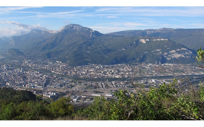
We analyzed future land use and its effects on biodiversity and ecosystem services for the Grenoble urban area. We used a toolbox of ecosystem service models to analyze trade-offs and synergies between biodiversity, critical ecosystem services under 4 scenarios for 2040 compared to present. This data set is composed of the land cover, ecosystem service maps (crop production, pasture production, forest stocks and production, pollination, carbon storage, water infiltration, flood protection, water quality, erosion control, rockfall protection, recreation) and biodiversity (plant and vertebrate species richnesses) maps. Each ecosystem service is associated with a one-page model description.